Field near Dean Wood
Introduction
The photograph on this page of Field near Dean Wood by David Squire as part of the Geograph project.
The Geograph project started in 2005 with the aim of publishing, organising and preserving representative images for every square kilometre of Great Britain, Ireland and the Isle of Man.

There are currently over 7.5m images from over 14,400 individuals and you can help contribute to the project by visiting https://www.geograph.org.uk
Field near Dean Wood
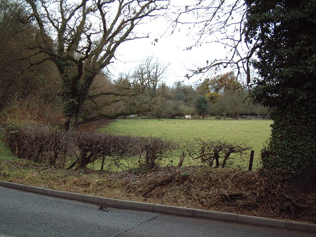
Image: © David Squire Taken: 5 Dec 2005
This field is by the junction of Long Bottom Lane and Potkiln Lane close to the old Quaker Meeting House at Jordans.
Images are licensed for reuse under creativecommons.org/licenses/by-sa/2.0
Image Location
Latitude
51.607655
Longitude
-0.597777