Trunk road by-passing Kilgetty
Introduction
The photograph on this page of Trunk road by-passing Kilgetty by Shaun Butler as part of the Geograph project.
The Geograph project started in 2005 with the aim of publishing, organising and preserving representative images for every square kilometre of Great Britain, Ireland and the Isle of Man.

There are currently over 7.5m images from over 14,400 individuals and you can help contribute to the project by visiting https://www.geograph.org.uk
Trunk road by-passing Kilgetty
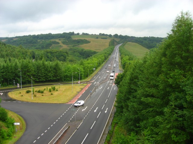
Image: © Shaun Butler Taken: 7 Jul 2008
Present day picture of the A477(T) by-passing Kilgetty village. compare this with the construction photo at: Image
Images are licensed for reuse under creativecommons.org/licenses/by-sa/2.0
Image Location
Latitude
51.738948
Longitude
-4.703108