Medieval village at Dotland
Introduction
The photograph on this page of Medieval village at Dotland by Oliver Dixon as part of the Geograph project.
The Geograph project started in 2005 with the aim of publishing, organising and preserving representative images for every square kilometre of Great Britain, Ireland and the Isle of Man.

There are currently over 7.5m images from over 14,400 individuals and you can help contribute to the project by visiting https://www.geograph.org.uk
Medieval village at Dotland
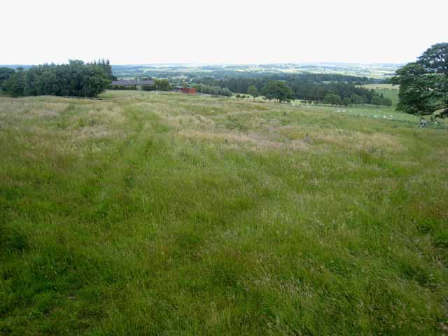
Image: © Oliver Dixon Taken: 8 Jul 2008
This rather unprepossessing field of humps and hollows marks this site of what was in Mediaeval times a substantial village http://www.durham-pa.gov.uk/durhamcc/K2P.nsf/K2PDetail?readform&PRN=N8336. The hills on the skyline lie to the north of the Tyne valley.
Images are licensed for reuse under creativecommons.org/licenses/by-sa/2.0
Image Location
Latitude
54.93048
Longitude
-2.121534