Westmorland Street
Introduction
The photograph on this page of Westmorland Street by Alexander P Kapp as part of the Geograph project.
The Geograph project started in 2005 with the aim of publishing, organising and preserving representative images for every square kilometre of Great Britain, Ireland and the Isle of Man.

There are currently over 7.5m images from over 14,400 individuals and you can help contribute to the project by visiting https://www.geograph.org.uk
Westmorland Street
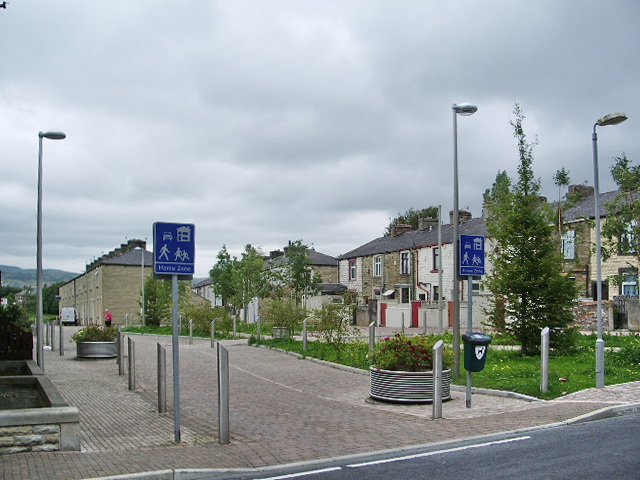
Image: © Alexander P Kapp Taken: 8 Jul 2008
Knocked down a row of houses down and built a "Home Zone" http://www.homezones.org/concept.html
Images are licensed for reuse under creativecommons.org/licenses/by-sa/2.0
Image Location
Latitude
53.786646
Longitude
-2.260868