Former chapel, Meeting House Lane, Clough Head, Golcar
Introduction
The photograph on this page of Former chapel, Meeting House Lane, Clough Head, Golcar by Humphrey Bolton as part of the Geograph project.
The Geograph project started in 2005 with the aim of publishing, organising and preserving representative images for every square kilometre of Great Britain, Ireland and the Isle of Man.

There are currently over 7.5m images from over 14,400 individuals and you can help contribute to the project by visiting https://www.geograph.org.uk
Former chapel, Meeting House Lane, Clough Head, Golcar
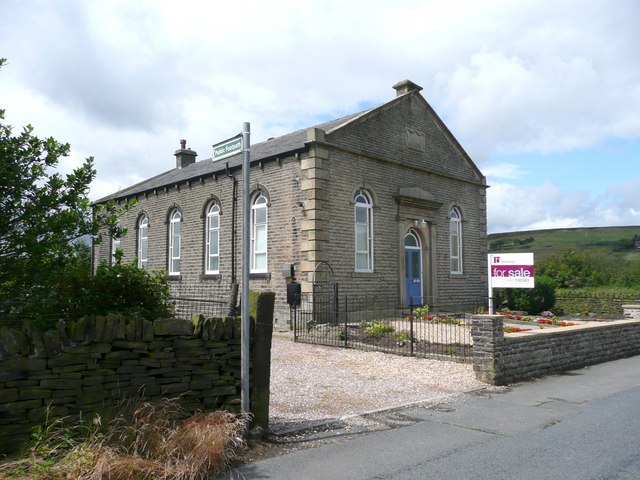
Image: © Humphrey Bolton Taken: 8 Jul 2008
From the name of the road, I suspect that this was a Friends' Meeting House. The plaque is no longer legible.
Images are licensed for reuse under creativecommons.org/licenses/by-sa/2.0
Image Location


Leaflet Map data © OpenStreetMap
Latitude
53.636855
Longitude
-1.875946