Wall and fence, Brompton Road, Bangor
Introduction
The photograph on this page of Wall and fence, Brompton Road, Bangor by Rossographer as part of the Geograph project.
The Geograph project started in 2005 with the aim of publishing, organising and preserving representative images for every square kilometre of Great Britain, Ireland and the Isle of Man.

There are currently over 7.5m images from over 14,400 individuals and you can help contribute to the project by visiting https://www.geograph.org.uk
Wall and fence, Brompton Road, Bangor
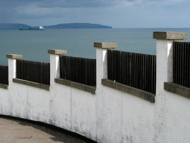
Image: © Rossographer Taken: 8 Jul 2008
Wall and fence at the bottom of Bompton Road (just unseen to the right of Image). Belfast Lough and the County Antrim coastline is beyond with the ship 'Mornes' at anchor, awaiting to passage to Kilroot Power Station.
Images are licensed for reuse under creativecommons.org/licenses/by-sa/2.0
Image Location


Leaflet Map data © OpenStreetMap
Latitude
54.667549
Longitude
-5.684984