2008 : The A46 Gloucester Road
Introduction
The photograph on this page of 2008 : The A46 Gloucester Road by Maurice Pullin as part of the Geograph project.
The Geograph project started in 2005 with the aim of publishing, organising and preserving representative images for every square kilometre of Great Britain, Ireland and the Isle of Man.

There are currently over 7.5m images from over 14,400 individuals and you can help contribute to the project by visiting https://www.geograph.org.uk
2008 : The A46 Gloucester Road
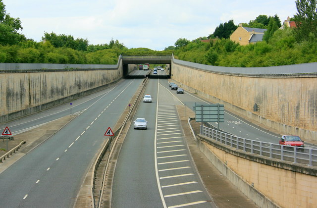
Image: © Maurice Pullin Taken: 4 Jul 2008
Seen from the A4/A46 junction at the western end of the Batheaston Bypass the A46 heads north toward the junction with the M4 then on to Cheltenham (not Gloucester). The new Bailbrook Bridge is ahead and Lower Swainswick is on the other side of the retaining wall to the left.
Images are licensed for reuse under creativecommons.org/licenses/by-sa/2.0
Image Location
Latitude
51.40154
Longitude
-2.338775