Typical Day on Britain's Roads
Introduction
The photograph on this page of Typical Day on Britain's Roads by Matthew Hatton as part of the Geograph project.
The Geograph project started in 2005 with the aim of publishing, organising and preserving representative images for every square kilometre of Great Britain, Ireland and the Isle of Man.

There are currently over 7.5m images from over 14,400 individuals and you can help contribute to the project by visiting https://www.geograph.org.uk
Typical Day on Britain's Roads
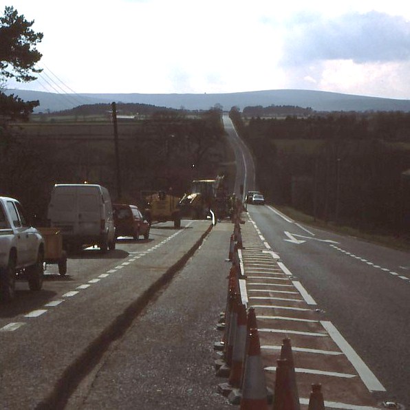
Image: © Matthew Hatton Taken: Unknown
Roadworks affecting traffic on the A59 near Dangerous Corner.
Images are licensed for reuse under creativecommons.org/licenses/by-sa/2.0
Image Location


Leaflet Map data © OpenStreetMap
Latitude
53.997671
Longitude
-1.696097