Approaching Dunge
Introduction
The photograph on this page of Approaching Dunge by Phil Williams as part of the Geograph project.
The Geograph project started in 2005 with the aim of publishing, organising and preserving representative images for every square kilometre of Great Britain, Ireland and the Isle of Man.

There are currently over 7.5m images from over 14,400 individuals and you can help contribute to the project by visiting https://www.geograph.org.uk
Approaching Dunge
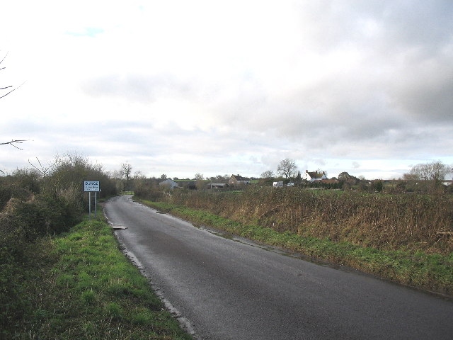
Image: © Phil Williams Taken: 4 Dec 2005
Looking northwest along a minor road approaching the hamlet of Dunge. Grange Farm (left) and Dunge Farm (right) can be seen just around the bend.
Images are licensed for reuse under creativecommons.org/licenses/by-sa/2.0
Image Location
Latitude
51.287733
Longitude
-2.154819