Gloucester Gate bridge, NW1
Introduction
The photograph on this page of Gloucester Gate bridge, NW1 by Phillip Perry as part of the Geograph project.
The Geograph project started in 2005 with the aim of publishing, organising and preserving representative images for every square kilometre of Great Britain, Ireland and the Isle of Man.

There are currently over 7.5m images from over 14,400 individuals and you can help contribute to the project by visiting https://www.geograph.org.uk
Gloucester Gate bridge, NW1
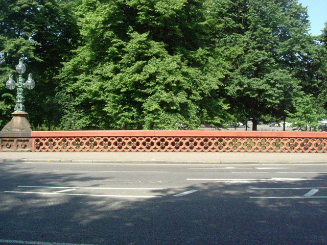
Image: © Phillip Perry Taken: 9 Jun 2008
This bridge that seems to cross nothing in particular used to be a canal bridge and underneath used to run the Cumberland Arm branch of the Grand Union Canal, but it was filled in 1942. See also Image
Images are licensed for reuse under creativecommons.org/licenses/by-sa/2.0
Image Location


Leaflet Map data © OpenStreetMap
Latitude
51.536548
Longitude
-0.14562