The disused end part of the A5
Introduction
The photograph on this page of The disused end part of the A5 by Eric Jones as part of the Geograph project.
The Geograph project started in 2005 with the aim of publishing, organising and preserving representative images for every square kilometre of Great Britain, Ireland and the Isle of Man.

There are currently over 7.5m images from over 14,400 individuals and you can help contribute to the project by visiting https://www.geograph.org.uk
The disused end part of the A5
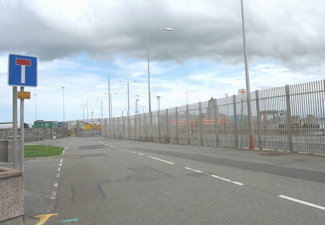
Image: © Eric Jones Taken: 4 Jul 2008
The need for security has meant that the final section of the A5 road leading on to Salt Island is no longer used except as an emergency access to the parallel port road which is behind the security fence.
Images are licensed for reuse under creativecommons.org/licenses/by-sa/2.0
Image Location
Latitude
53.314297
Longitude
-4.628707