Welwyn Garden City: Woodhall Community Centre
Introduction
The photograph on this page of Welwyn Garden City: Woodhall Community Centre by Nigel Cox as part of the Geograph project.
The Geograph project started in 2005 with the aim of publishing, organising and preserving representative images for every square kilometre of Great Britain, Ireland and the Isle of Man.

There are currently over 7.5m images from over 14,400 individuals and you can help contribute to the project by visiting https://www.geograph.org.uk
Welwyn Garden City: Woodhall Community Centre
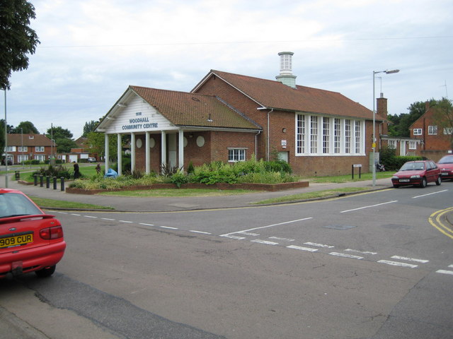
Image: © Nigel Cox Taken: 2 Jul 2008
The Centre was built in 1938 and is at the southern end of Mill Green Road. Sandpit Road leads off to the right.
Images are licensed for reuse under creativecommons.org/licenses/by-sa/2.0
Image Location
Latitude
51.79155
Longitude
-0.196371