Inlet west of Ynys Peibio
Introduction
The photograph on this page of Inlet west of Ynys Peibio by Eric Jones as part of the Geograph project.
The Geograph project started in 2005 with the aim of publishing, organising and preserving representative images for every square kilometre of Great Britain, Ireland and the Isle of Man.

There are currently over 7.5m images from over 14,400 individuals and you can help contribute to the project by visiting https://www.geograph.org.uk
Inlet west of Ynys Peibio
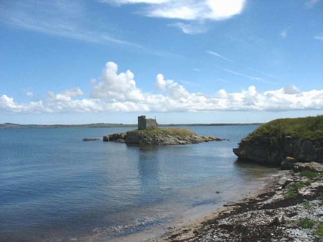
Image: © Eric Jones Taken: 4 Jul 2008
The defence structure on the island - Ynys Peibio - was built to repulse any attack on the port by the French Napoleonic navy.
Images are licensed for reuse under creativecommons.org/licenses/by-sa/2.0
Image Location
Latitude
53.309315
Longitude
-4.613989