Springbrook Lane, Earlswood.
Introduction
The photograph on this page of Springbrook Lane, Earlswood. by David Stowell as part of the Geograph project.
The Geograph project started in 2005 with the aim of publishing, organising and preserving representative images for every square kilometre of Great Britain, Ireland and the Isle of Man.

There are currently over 7.5m images from over 14,400 individuals and you can help contribute to the project by visiting https://www.geograph.org.uk
Springbrook Lane, Earlswood.
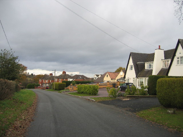
Image: © David Stowell Taken: 4 Dec 2005
The housing on this lane, leading towards the Lakes Station from Earlswood Common is typical of the outer suburban developments in this commuter community for the West Midlands.
Images are licensed for reuse under creativecommons.org/licenses/by-sa/2.0
Image Location


Leaflet Map data © OpenStreetMap
Latitude
52.354052
Longitude
-1.836983