Dollis Road
Introduction
The photograph on this page of Dollis Road by Martin Addison as part of the Geograph project.
The Geograph project started in 2005 with the aim of publishing, organising and preserving representative images for every square kilometre of Great Britain, Ireland and the Isle of Man.

There are currently over 7.5m images from over 14,400 individuals and you can help contribute to the project by visiting https://www.geograph.org.uk
Dollis Road
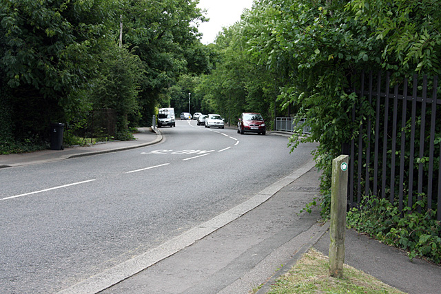
Image: © Martin Addison Taken: 29 Jun 2008
Dollis Brook passes under the road by the grey railings. Hidden by the trees around the corner in the distance is the viaduct carrying the Mill Hill East branch of the Northern Line across the valley.
Images are licensed for reuse under creativecommons.org/licenses/by-sa/2.0
Image Location
Latitude
51.604102
Longitude
-0.204819