Kingsbridge: Rack Park Road
Introduction
The photograph on this page of Kingsbridge: Rack Park Road by Martin Bodman as part of the Geograph project.
The Geograph project started in 2005 with the aim of publishing, organising and preserving representative images for every square kilometre of Great Britain, Ireland and the Isle of Man.

There are currently over 7.5m images from over 14,400 individuals and you can help contribute to the project by visiting https://www.geograph.org.uk
Kingsbridge: Rack Park Road
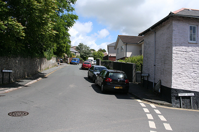
Image: © Martin Bodman Taken: 3 Jul 2008
Rack Park suggests a rack field where cloth was stretched on racks fitted with tenterhooks after being fulled in a tucking mill. Nearby Garden Mill, off Derby Road, was a water-powered grain mill in the 19th century, as was the 18th century Saltmill, also close by
Images are licensed for reuse under creativecommons.org/licenses/by-sa/2.0
Image Location


Leaflet Map data © OpenStreetMap
Latitude
50.281885
Longitude
-3.77335