Crackington Haven
Introduction
The photograph on this page of Crackington Haven by Paul Dixon as part of the Geograph project.
The Geograph project started in 2005 with the aim of publishing, organising and preserving representative images for every square kilometre of Great Britain, Ireland and the Isle of Man.

There are currently over 7.5m images from over 14,400 individuals and you can help contribute to the project by visiting https://www.geograph.org.uk
Crackington Haven
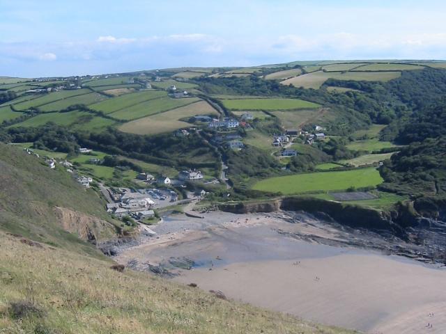
Image: © Paul Dixon Taken: Unknown
Taken from the cliff around SX140972, but covering a good proportion of the SX1496 grid square with Crackington Haven nestling at the bottom of the valley. This was taken in 2003, before the 2004 floods which washed away the car park and footbridge.
Images are licensed for reuse under creativecommons.org/licenses/by-sa/2.0
Image Location
Latitude
50.73841
Longitude
-4.630312