Linnets Road, Alresford
Introduction
The photograph on this page of Linnets Road, Alresford by Peter Facey as part of the Geograph project.
The Geograph project started in 2005 with the aim of publishing, organising and preserving representative images for every square kilometre of Great Britain, Ireland and the Isle of Man.

There are currently over 7.5m images from over 14,400 individuals and you can help contribute to the project by visiting https://www.geograph.org.uk
Linnets Road, Alresford
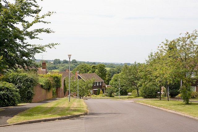
Image: © Peter Facey Taken: 1 Jul 2008
Looking west along it between Russet Close and Maple Close.
Images are licensed for reuse under creativecommons.org/licenses/by-sa/2.0
Image Location
Latitude
51.082468
Longitude
-1.167933