The bottom end of Seabourne Road
Introduction
The photograph on this page of The bottom end of Seabourne Road by Eric Jones as part of the Geograph project.
The Geograph project started in 2005 with the aim of publishing, organising and preserving representative images for every square kilometre of Great Britain, Ireland and the Isle of Man.

There are currently over 7.5m images from over 14,400 individuals and you can help contribute to the project by visiting https://www.geograph.org.uk
The bottom end of Seabourne Road
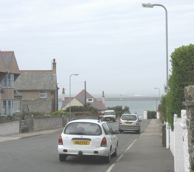
Image: © Eric Jones Taken: 28 Jun 2008
Irish Ferries' Jonathan Swift passes the end of the road. In less than 1hr 50min it will be in the Port of Dublin.
Images are licensed for reuse under creativecommons.org/licenses/by-sa/2.0
Image Location
Latitude
53.315691
Longitude
-4.638852