Coldharbour Lane, Patching
Introduction
The photograph on this page of Coldharbour Lane, Patching by Slbs as part of the Geograph project.
The Geograph project started in 2005 with the aim of publishing, organising and preserving representative images for every square kilometre of Great Britain, Ireland and the Isle of Man.

There are currently over 7.5m images from over 14,400 individuals and you can help contribute to the project by visiting https://www.geograph.org.uk
Coldharbour Lane, Patching
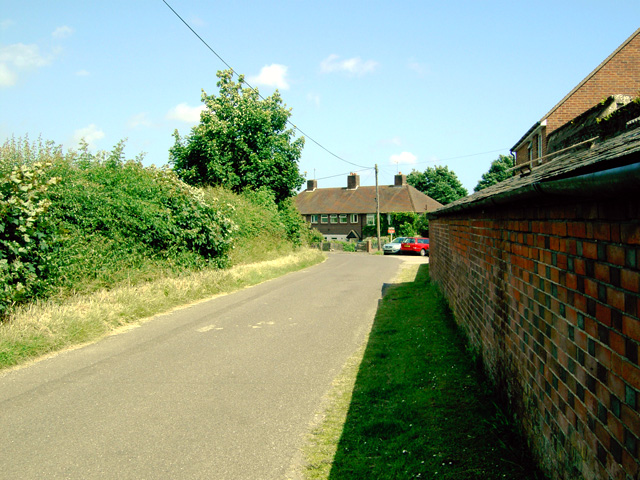
Image: © Slbs Taken: 25 Jun 2008
This is a view of the Patching end of the lane, close to its junction with Patching Street (which is behind the photographer's back).
Images are licensed for reuse under creativecommons.org/licenses/by-sa/2.0
Image Location
Latitude
50.846794
Longitude
-0.454653