Housing estate, Poplar
Introduction
The photograph on this page of Housing estate, Poplar by Natasha Ceridwen de Chroustchoff as part of the Geograph project.
The Geograph project started in 2005 with the aim of publishing, organising and preserving representative images for every square kilometre of Great Britain, Ireland and the Isle of Man.

There are currently over 7.5m images from over 14,400 individuals and you can help contribute to the project by visiting https://www.geograph.org.uk
Housing estate, Poplar
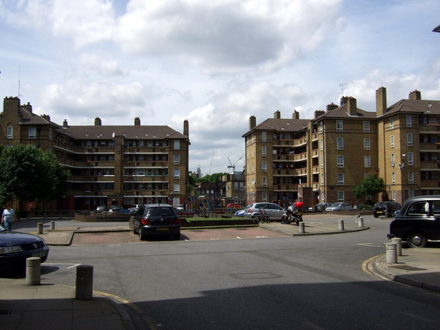
Image: © Natasha Ceridwen de Chroustchoff Taken: 26 Jun 2008
These blocks of flats, seen from Hale Street, were erected in the 1930s as part of a huge slum clearance exercise in this part of London.
Images are licensed for reuse under creativecommons.org/licenses/by-sa/2.0
Image Location
Latitude
51.509557
Longitude
-0.018314