Church of St Augustine of Canterbury, Upton Lovell
Introduction
The photograph on this page of Church of St Augustine of Canterbury, Upton Lovell by Maigheach-gheal as part of the Geograph project.
The Geograph project started in 2005 with the aim of publishing, organising and preserving representative images for every square kilometre of Great Britain, Ireland and the Isle of Man.

There are currently over 7.5m images from over 14,400 individuals and you can help contribute to the project by visiting https://www.geograph.org.uk
Church of St Augustine of Canterbury, Upton Lovell
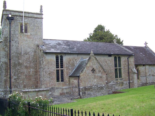
Image: © Maigheach-gheal Taken: 29 Jun 2008
The area in which this church stands is the side of an established Saxon settlement believed to have been called "Ubbantone". The Domesday book has it as "Ubetone" which cathedral records have it variously as "Overton", "Obeton" and "Ubbedon".
Images are licensed for reuse under creativecommons.org/licenses/by-sa/2.0
Image Location
Latitude
51.166597
Longitude
-2.079898