Stracey Road
Introduction
The photograph on this page of Stracey Road by Evelyn Simak as part of the Geograph project.
The Geograph project started in 2005 with the aim of publishing, organising and preserving representative images for every square kilometre of Great Britain, Ireland and the Isle of Man.

There are currently over 7.5m images from over 14,400 individuals and you can help contribute to the project by visiting https://www.geograph.org.uk
Stracey Road
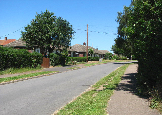
Image: © Evelyn Simak Taken: 1 Jul 2008
Stracey road is a cul-de-sac, turning off Aylsham Road. It leads to the car park for the Bure Valley Railway Walk.
Images are licensed for reuse under creativecommons.org/licenses/by-sa/2.0
Image Location
Latitude
52.755571
Longitude
1.303947