Footpath to the seaside
Introduction
The photograph on this page of Footpath to the seaside by Anne as part of the Geograph project.
The Geograph project started in 2005 with the aim of publishing, organising and preserving representative images for every square kilometre of Great Britain, Ireland and the Isle of Man.

There are currently over 7.5m images from over 14,400 individuals and you can help contribute to the project by visiting https://www.geograph.org.uk
Footpath to the seaside
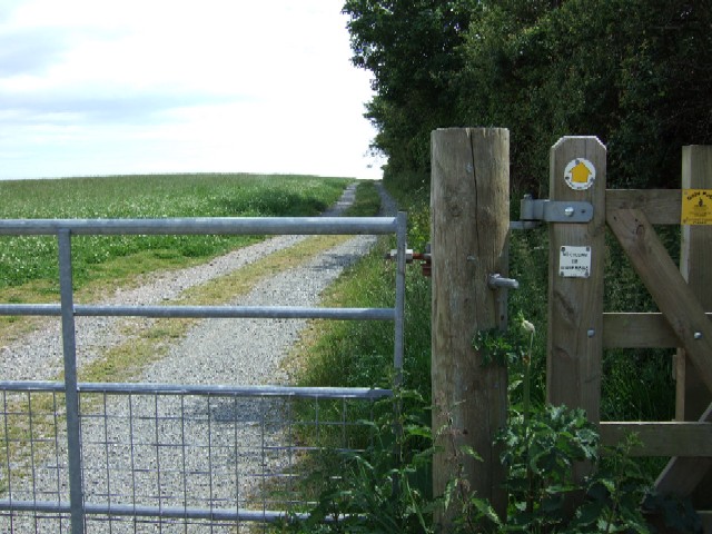
Image: © Anne Taken: 15 Jun 2008
In less than half a mile from the gate, the South West Coast path at Downend Point is reached. This is about half way between Looe and Talland Bay - most of the coast is National Trust property.
Images are licensed for reuse under creativecommons.org/licenses/by-sa/2.0
Image Location


Leaflet Map data © OpenStreetMap
Latitude
50.334493
Longitude
-4.506463