Blunsdon By-pass south site, Blunsdon 30.06.2008
Introduction
The photograph on this page of Blunsdon By-pass south site, Blunsdon 30.06.2008 by Brian Robert Marshall as part of the Geograph project.
The Geograph project started in 2005 with the aim of publishing, organising and preserving representative images for every square kilometre of Great Britain, Ireland and the Isle of Man.

There are currently over 7.5m images from over 14,400 individuals and you can help contribute to the project by visiting https://www.geograph.org.uk
Blunsdon By-pass south site, Blunsdon 30.06.2008
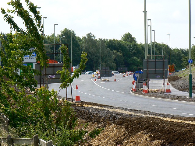
Image: © Brian Robert Marshall Taken: 30 Jun 2008
Ten months on from the date this image was taken http://www.geograph.org.uk/photo/540536 and the north-bound carriageway is all but complete and is expected to open tomorrow.
Images are licensed for reuse under creativecommons.org/licenses/by-sa/2.0
Image Location


Leaflet Map data © OpenStreetMap
Latitude
51.603058
Longitude
-1.78236