Loch Lomond
Introduction
The photograph on this page of Loch Lomond by Andrew Smith as part of the Geograph project.
The Geograph project started in 2005 with the aim of publishing, organising and preserving representative images for every square kilometre of Great Britain, Ireland and the Isle of Man.

There are currently over 7.5m images from over 14,400 individuals and you can help contribute to the project by visiting https://www.geograph.org.uk
Loch Lomond
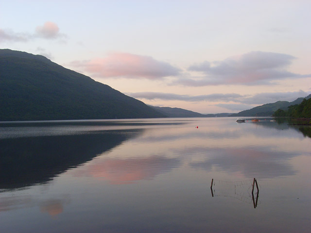
Image: © Andrew Smith Taken: 21 Jun 2008
The view from the pier at Tarbet as the first of the sun's rays were hitting the northeast-facing slopes above the village.
Images are licensed for reuse under creativecommons.org/licenses/by-sa/2.0
Image Location
Latitude
56.199871
Longitude
-4.704743