The approach to the junction with Milton Road
Introduction
The photograph on this page of The approach to the junction with Milton Road by Colin Bell as part of the Geograph project.
The Geograph project started in 2005 with the aim of publishing, organising and preserving representative images for every square kilometre of Great Britain, Ireland and the Isle of Man.

There are currently over 7.5m images from over 14,400 individuals and you can help contribute to the project by visiting https://www.geograph.org.uk
The approach to the junction with Milton Road
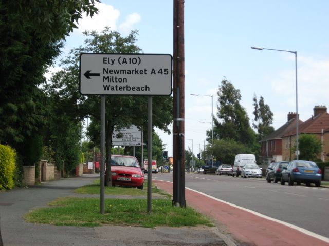
Image: © Colin Bell Taken: 28 Jun 2008
This sign has two separate mistakes on it. The road to Newmarket became the A14 in about 1990, and in any case A45 should always have been in brackets: the A14 is accessed from a roundabout a mile north of here, like the A10.
Images are licensed for reuse under creativecommons.org/licenses/by-sa/2.0
Image Location


Leaflet Map data © OpenStreetMap
Latitude
52.228248
Longitude
0.14415