River Dall meets the sea
Introduction
The photograph on this page of River Dall meets the sea by Garry Smales as part of the Geograph project.
The Geograph project started in 2005 with the aim of publishing, organising and preserving representative images for every square kilometre of Great Britain, Ireland and the Isle of Man.

There are currently over 7.5m images from over 14,400 individuals and you can help contribute to the project by visiting https://www.geograph.org.uk
River Dall meets the sea
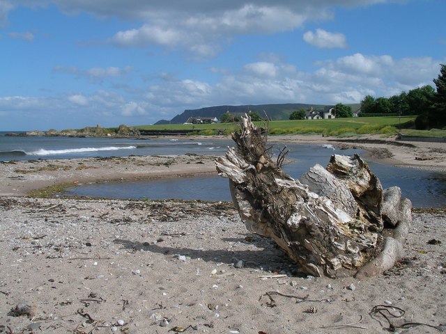
Image: © Garry Smales Taken: 25 Jun 2008
The mouth of the River Dall empties into Cushendall Bay.
Images are licensed for reuse under creativecommons.org/licenses/by-sa/2.0
Image Location
Latitude
55.082484
Longitude
-6.054645