Ruins of the 1909 bridge
Introduction
The photograph on this page of Ruins of the 1909 bridge by Colin Bell as part of the Geograph project.
The Geograph project started in 2005 with the aim of publishing, organising and preserving representative images for every square kilometre of Great Britain, Ireland and the Isle of Man.

There are currently over 7.5m images from over 14,400 individuals and you can help contribute to the project by visiting https://www.geograph.org.uk
Ruins of the 1909 bridge
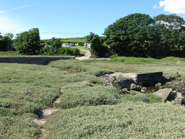
Image: © Colin Bell Taken: 15 Jun 2008
The date is engraved on the bridge (hard to see from this angle). A replacement bridge is behind on the left. In the background is Castle Farm campsite.
Images are licensed for reuse under creativecommons.org/licenses/by-sa/2.0
Image Location
Latitude
51.684245
Longitude
-5.086888