Prince Albert Road
Introduction
The photograph on this page of Prince Albert Road by Martin Addison as part of the Geograph project.
The Geograph project started in 2005 with the aim of publishing, organising and preserving representative images for every square kilometre of Great Britain, Ireland and the Isle of Man.

There are currently over 7.5m images from over 14,400 individuals and you can help contribute to the project by visiting https://www.geograph.org.uk
Prince Albert Road
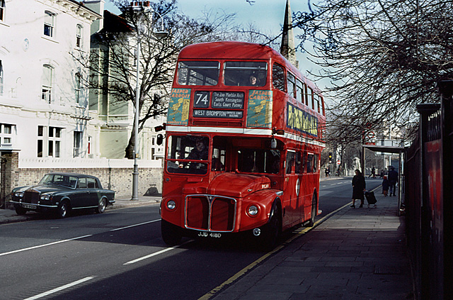
Image: © Martin Addison Taken: Unknown
RML2418, on the 74 route to West Brompton, pulls away from the bus stop after dropping off a female passenger with her shopping trolley. The Rolls Royce parked half on the pavement opposite would attract the Camden towing crew very rapidly these days. St. Marks church spire is visible above the bus.
Images are licensed for reuse under creativecommons.org/licenses/by-sa/2.0
Image Location


Leaflet Map data © OpenStreetMap
Latitude
51.537567
Longitude
-0.153221