Cycleway access
Introduction
The photograph on this page of Cycleway access by Dennis Turner as part of the Geograph project.
The Geograph project started in 2005 with the aim of publishing, organising and preserving representative images for every square kilometre of Great Britain, Ireland and the Isle of Man.

There are currently over 7.5m images from over 14,400 individuals and you can help contribute to the project by visiting https://www.geograph.org.uk
Cycleway access
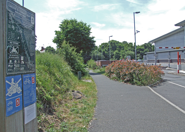
Image: © Dennis Turner Taken: 8 Jun 2008
Access to National Cycle Route 5. The sign indicates that this section 8 mile section is Phase 1 Chester to Connah's Quay Railway Path, forming part of the North Wales coastal route from Chester to Bangor and Holyhead.
Images are licensed for reuse under creativecommons.org/licenses/by-sa/2.0
Image Location
Latitude
53.201207
Longitude
-2.89518