Rogate Village centre
Introduction
The photograph on this page of Rogate Village centre by Martyn Pattison as part of the Geograph project.
The Geograph project started in 2005 with the aim of publishing, organising and preserving representative images for every square kilometre of Great Britain, Ireland and the Isle of Man.

There are currently over 7.5m images from over 14,400 individuals and you can help contribute to the project by visiting https://www.geograph.org.uk
Rogate Village centre
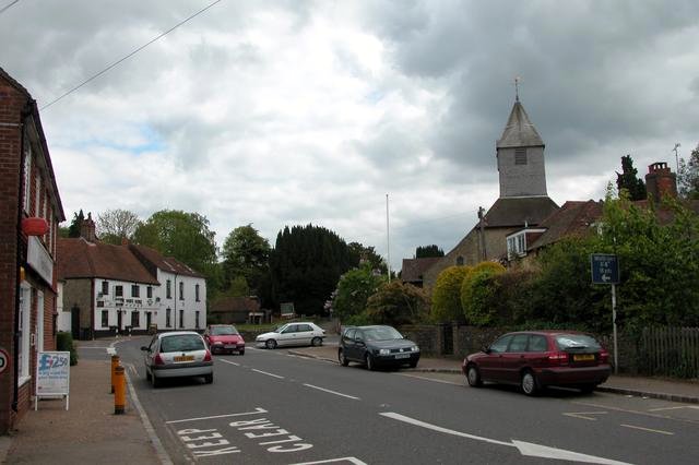
Image: © Martyn Pattison Taken: 10 May 2005
The church of St Bartholomew on the right, the white building straight ahead is the White Horse Inn.
Images are licensed for reuse under creativecommons.org/licenses/by-sa/2.0
Image Location


Leaflet Map data © OpenStreetMap
Latitude
51.005265
Longitude
-0.854042