Road to Clearbrook, Roborough down
Introduction
The photograph on this page of Road to Clearbrook, Roborough down by Gwyn Jones as part of the Geograph project.
The Geograph project started in 2005 with the aim of publishing, organising and preserving representative images for every square kilometre of Great Britain, Ireland and the Isle of Man.

There are currently over 7.5m images from over 14,400 individuals and you can help contribute to the project by visiting https://www.geograph.org.uk
Road to Clearbrook, Roborough down
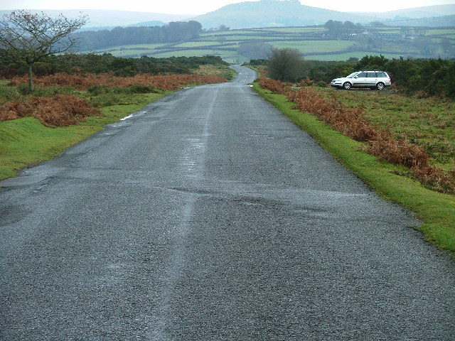
Image: © Gwyn Jones Taken: 27 Nov 2005
Turning east off the A386 Plymouth -Tavistock road, a minor road runs 'straight' for severall hundred yards (or metres, if you like) before dropping down to the hamlet of Clearbrook.
Images are licensed for reuse under creativecommons.org/licenses/by-sa/2.0
Image Location


Leaflet Map data © OpenStreetMap
Latitude
50.46148
Longitude
-4.093558