The Thames in flood at Marlow
Introduction
The photograph on this page of The Thames in flood at Marlow by Stanley Howe as part of the Geograph project.
The Geograph project started in 2005 with the aim of publishing, organising and preserving representative images for every square kilometre of Great Britain, Ireland and the Isle of Man.

There are currently over 7.5m images from over 14,400 individuals and you can help contribute to the project by visiting https://www.geograph.org.uk
The Thames in flood at Marlow
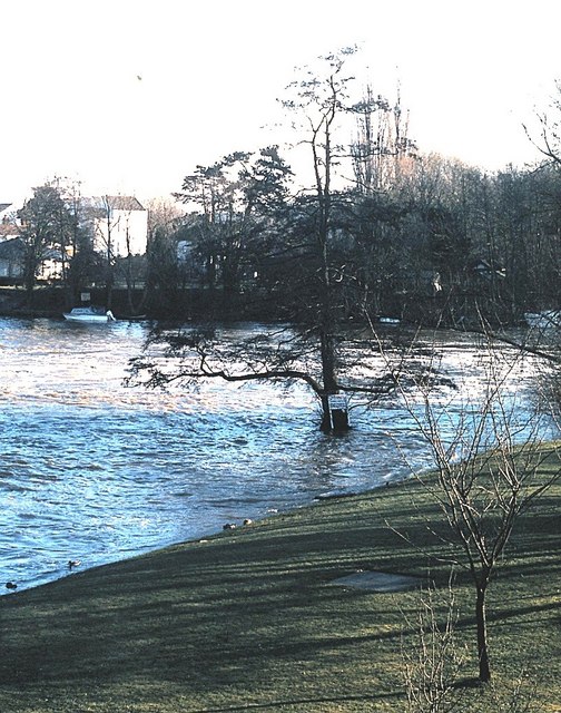
Image: © Stanley Howe Taken: Unknown
Thanks to January snow melt.
Images are licensed for reuse under creativecommons.org/licenses/by-sa/2.0
Image Location
Latitude
51.566523
Longitude
-0.770736