Down the hill to Worcester
Introduction
The photograph on this page of Down the hill to Worcester by Peter Whatley as part of the Geograph project.
The Geograph project started in 2005 with the aim of publishing, organising and preserving representative images for every square kilometre of Great Britain, Ireland and the Isle of Man.

There are currently over 7.5m images from over 14,400 individuals and you can help contribute to the project by visiting https://www.geograph.org.uk
Down the hill to Worcester
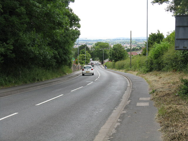
Image: © Peter Whatley Taken: 23 Jun 2008
Newtown Road drops away from Ronkswood in the direction of Shrub Hill station. The photo was taken from slightly closer in toward Worcester than the former Clinical Research Centre, now closed (June 2008). The hills beyond the River Severn are visible in the distance.
Images are licensed for reuse under creativecommons.org/licenses/by-sa/2.0
Image Location
Latitude
52.194335
Longitude
-2.195113