Cider orchards near Pontshill
Introduction
The photograph on this page of Cider orchards near Pontshill by Jonathan Billinger as part of the Geograph project.
The Geograph project started in 2005 with the aim of publishing, organising and preserving representative images for every square kilometre of Great Britain, Ireland and the Isle of Man.

There are currently over 7.5m images from over 14,400 individuals and you can help contribute to the project by visiting https://www.geograph.org.uk
Cider orchards near Pontshill
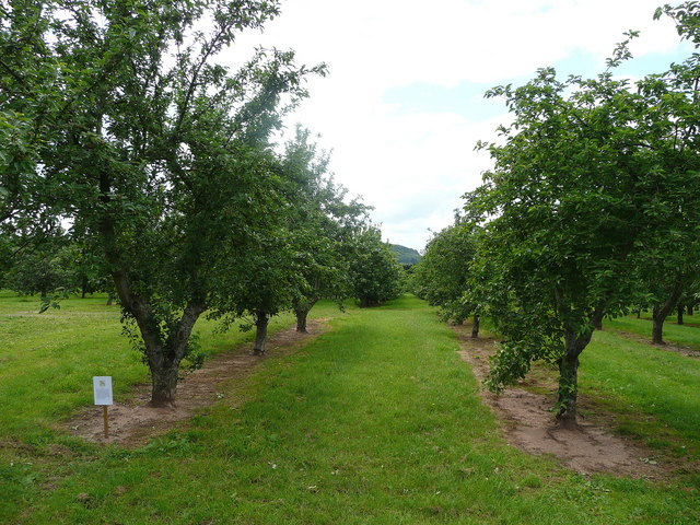
Image: © Jonathan Billinger Taken: 23 Jun 2008
A public footpath follows the rows south-west away from the A40. The sign refers to Farm Sunday which took place on June 1st 2008.
Images are licensed for reuse under creativecommons.org/licenses/by-sa/2.0
Image Location
Latitude
51.896295
Longitude
-2.520511