2008 : Looking east near Cutteridge Farm
Introduction
The photograph on this page of 2008 : Looking east near Cutteridge Farm by Maurice Pullin as part of the Geograph project.
The Geograph project started in 2005 with the aim of publishing, organising and preserving representative images for every square kilometre of Great Britain, Ireland and the Isle of Man.

There are currently over 7.5m images from over 14,400 individuals and you can help contribute to the project by visiting https://www.geograph.org.uk
2008 : Looking east near Cutteridge Farm
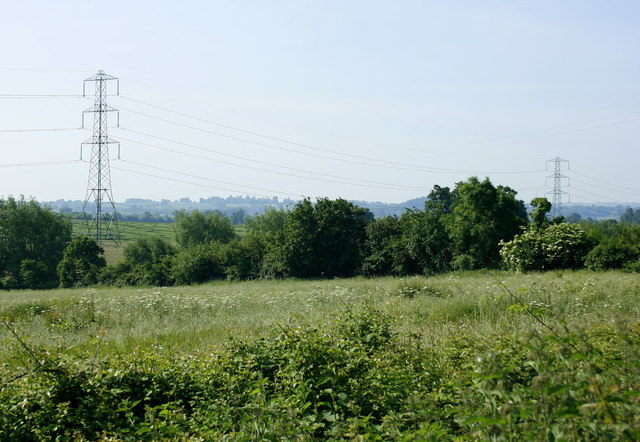
Image: © Maurice Pullin Taken: 9 Jun 2008
There is little to be seen of Cutteridge Farm by the casual visitor as it cannot be approached by public road or footpath. (Lucky people). Here we are at the main entrance looking the other way.
Images are licensed for reuse under creativecommons.org/licenses/by-sa/2.0
Image Location
Latitude
51.277644
Longitude
-2.22188