Cottages on Town Road
Introduction
The photograph on this page of Cottages on Town Road by Evelyn Simak as part of the Geograph project.
The Geograph project started in 2005 with the aim of publishing, organising and preserving representative images for every square kilometre of Great Britain, Ireland and the Isle of Man.

There are currently over 7.5m images from over 14,400 individuals and you can help contribute to the project by visiting https://www.geograph.org.uk
Cottages on Town Road
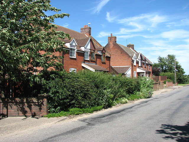
Image: © Evelyn Simak Taken: 22 Jun 2008
The village of Burgh St Margaret, also called Fleggburgh. It is thought that Burgh was the original name but with altogether four Norfolk villages called 'Burgh' it became necessary to distinguish between them. The adjoining parish used to be called Burgh Vaux or Burgh St Mary, the latter adopting the name of their church > http://www.geograph.org.uk/photo/376316 - in ruins since the 16th century - only the round tower remains. Fleggburgh/Burgh St Margaret is located on the A1064, the main route linking Acle to West Yarmouth before the opening of the Acle Straight (A47/New Road) as a toll road in 1831.
Images are licensed for reuse under creativecommons.org/licenses/by-sa/2.0
Image Location
Latitude
52.671119
Longitude
1.614927