Church Lane
Introduction
The photograph on this page of Church Lane by Martin Addison as part of the Geograph project.
The Geograph project started in 2005 with the aim of publishing, organising and preserving representative images for every square kilometre of Great Britain, Ireland and the Isle of Man.

There are currently over 7.5m images from over 14,400 individuals and you can help contribute to the project by visiting https://www.geograph.org.uk
Church Lane
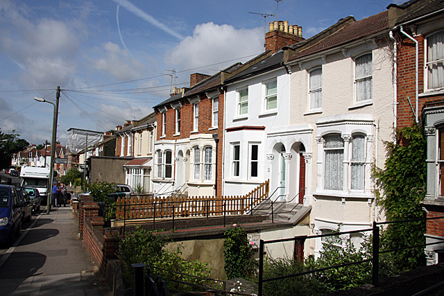
Image: © Martin Addison Taken: 20 Jun 2008
The road climbs steeply here to cross the Northern Line. The land on either side of the road falls away steeply and the nearest houses have three storeys. The concrete sided building further down the hill is one of 2 corner shops, now in use as offices, at the junction with Manor Park Road. The bridge over the railway is behind me. Holy Trinity Church is out of shot on the left.
Images are licensed for reuse under creativecommons.org/licenses/by-sa/2.0
Image Location
Latitude
51.592741
Longitude
-0.17365