Farmland at Warish Hall
Introduction
The photograph on this page of Farmland at Warish Hall by Thomas Nugent as part of the Geograph project.
The Geograph project started in 2005 with the aim of publishing, organising and preserving representative images for every square kilometre of Great Britain, Ireland and the Isle of Man.

There are currently over 7.5m images from over 14,400 individuals and you can help contribute to the project by visiting https://www.geograph.org.uk
Farmland at Warish Hall
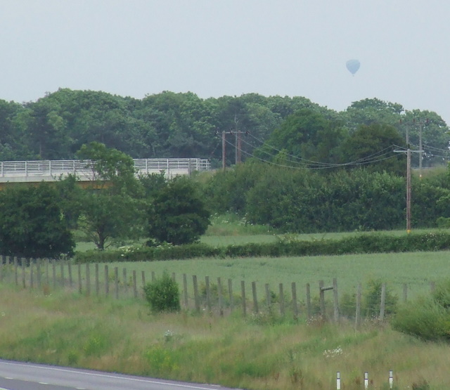
Image: © Thomas Nugent Taken: 20 Jun 2008
Viewed from the A12o overbridge at Old House Farm. The large white structure is the overbridge at Fanns. Note the hot air balloon.
Images are licensed for reuse under creativecommons.org/licenses/by-sa/2.0
Image Location


Leaflet Map data © OpenStreetMap
Latitude
51.87642
Longitude
0.285587