Path of LNG pipeline
Introduction
The photograph on this page of Path of LNG pipeline by Shaun Butler as part of the Geograph project.
The Geograph project started in 2005 with the aim of publishing, organising and preserving representative images for every square kilometre of Great Britain, Ireland and the Isle of Man.

There are currently over 7.5m images from over 14,400 individuals and you can help contribute to the project by visiting https://www.geograph.org.uk
Path of LNG pipeline
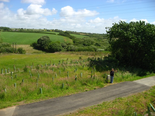
Image: © Shaun Butler Taken: 22 Jun 2008
The Johnston to Neyland cycle path crossing the buried 48 inch pipeline, laid in 2007 to carry LNG from Milford Haven to Neath. Already (12 months later) grasses and tree planting are covering the scar.
Images are licensed for reuse under creativecommons.org/licenses/by-sa/2.0
Image Location
Latitude
51.746788
Longitude
-4.97408