Uphill: view towards Flat Holm
Introduction
The photograph on this page of Uphill: view towards Flat Holm by Chris Downer as part of the Geograph project.
The Geograph project started in 2005 with the aim of publishing, organising and preserving representative images for every square kilometre of Great Britain, Ireland and the Isle of Man.

There are currently over 7.5m images from over 14,400 individuals and you can help contribute to the project by visiting https://www.geograph.org.uk
Uphill: view towards Flat Holm
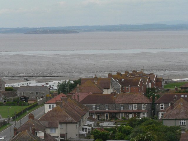
Image: © Chris Downer Taken: 20 Jun 2008
Flat Holm, standing in the middle of the Severn estuary and conspicuous by its lighthouse, is clearly visible from the Image as we look west along the ridge.
Images are licensed for reuse under creativecommons.org/licenses/by-sa/2.0
Image Location
Latitude
51.322701
Longitude
-2.986705