Stoke Floods looking towards Binley church and vicarage
Introduction
The photograph on this page of Stoke Floods looking towards Binley church and vicarage by A J Paxton as part of the Geograph project.
The Geograph project started in 2005 with the aim of publishing, organising and preserving representative images for every square kilometre of Great Britain, Ireland and the Isle of Man.

There are currently over 7.5m images from over 14,400 individuals and you can help contribute to the project by visiting https://www.geograph.org.uk
Stoke Floods looking towards Binley church and vicarage
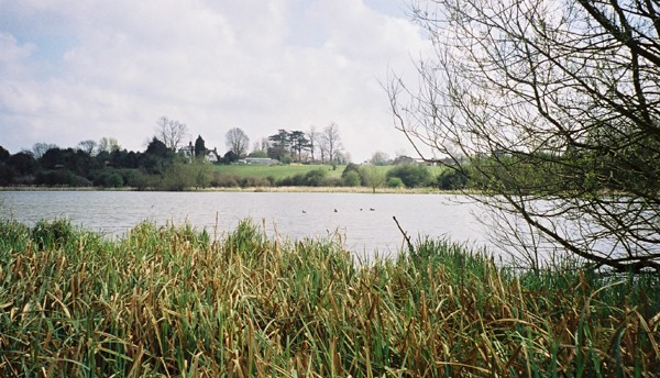
Image: © A J Paxton Taken: Unknown
Stoke Floods is a nature reserve comprising a pool surrounded by reedbeds and scrub. The pool is a flash, a body of water occupying land that has subsided, in this case as a result of mine-workings at Binley Colliery.
Images are licensed for reuse under creativecommons.org/licenses/by-sa/2.0
Image Location
Latitude
52.404764
Longitude
-1.450945