Ion Place
Introduction
The photograph on this page of Ion Place by Ian Capper as part of the Geograph project.
The Geograph project started in 2005 with the aim of publishing, organising and preserving representative images for every square kilometre of Great Britain, Ireland and the Isle of Man.

There are currently over 7.5m images from over 14,400 individuals and you can help contribute to the project by visiting https://www.geograph.org.uk
Ion Place
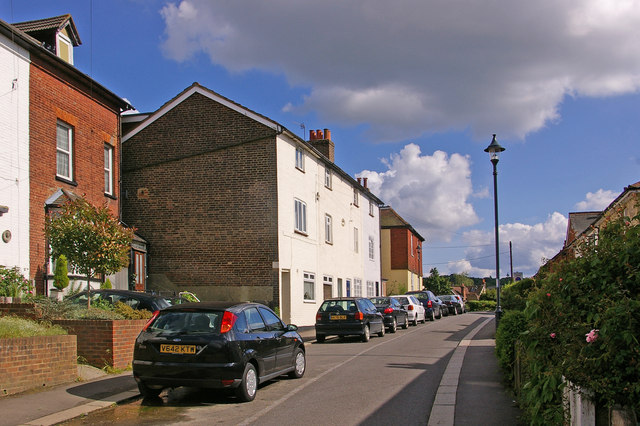
Image: © Ian Capper Taken: 25 May 2008
Ion Place is the name of the large building in the centre of the photo, dating from 1887. It originally housed a row of shops, with the barbers in one of them only ceasing to trade in the 1990s. Part of the Nutley Lane homezone (see Image).
Images are licensed for reuse under creativecommons.org/licenses/by-sa/2.0
Image Location


Leaflet Map data © OpenStreetMap
Latitude
51.240075
Longitude
-0.211319