View from above Fortingal
Introduction
The photograph on this page of View from above Fortingal by Gordon Hatton as part of the Geograph project.
The Geograph project started in 2005 with the aim of publishing, organising and preserving representative images for every square kilometre of Great Britain, Ireland and the Isle of Man.

There are currently over 7.5m images from over 14,400 individuals and you can help contribute to the project by visiting https://www.geograph.org.uk
View from above Fortingal
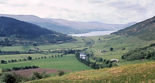
Image: © Gordon Hatton Taken: Unknown
The view south from the hillside above Fortingal, with the triple arch bridge over the River Lyon near the picture centre, and Loch tay in the distance.
Images are licensed for reuse under creativecommons.org/licenses/by-sa/2.0
Image Location


Leaflet Map data © OpenStreetMap
Latitude
56.598308
Longitude
-4.067981