Greencraig.
Introduction
The photograph on this page of Greencraig. by Richard Webb as part of the Geograph project.
The Geograph project started in 2005 with the aim of publishing, organising and preserving representative images for every square kilometre of Great Britain, Ireland and the Isle of Man.

There are currently over 7.5m images from over 14,400 individuals and you can help contribute to the project by visiting https://www.geograph.org.uk
Greencraig.
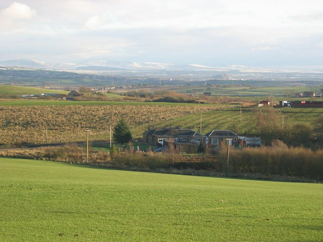
Image: © Richard Webb Taken: 28 Nov 2005
Rough grassland, 190m up on the plateau above Falkirk, sometimes known as the Slamannan Plateau. view to the snow covered Pentland Hills.
Images are licensed for reuse under creativecommons.org/licenses/by-sa/2.0
Image Location


Leaflet Map data © OpenStreetMap
Latitude
55.948385
Longitude
-3.750199