Potwell Dyke Grasslands
Introduction
The photograph on this page of Potwell Dyke Grasslands by Alan Murray-Rust as part of the Geograph project.
The Geograph project started in 2005 with the aim of publishing, organising and preserving representative images for every square kilometre of Great Britain, Ireland and the Isle of Man.

There are currently over 7.5m images from over 14,400 individuals and you can help contribute to the project by visiting https://www.geograph.org.uk
Potwell Dyke Grasslands
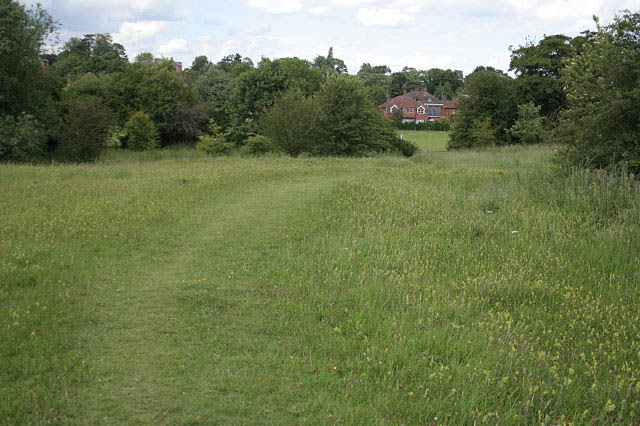
Image: © Alan Murray-Rust Taken: 19 Jun 2008
One of the old established footpaths through these managed haymeadows. Walkers are encouraged to stay on the paths to ensure the preservation of the flora. In this view the predominant flower is Yellow Rattle (particularly bottom right).
Images are licensed for reuse under creativecommons.org/licenses/by-sa/2.0
Image Location
Latitude
53.073929
Longitude
-0.951399