Hatchford Brook Golf Course
Introduction
The photograph on this page of Hatchford Brook Golf Course by peter lloyd as part of the Geograph project.
The Geograph project started in 2005 with the aim of publishing, organising and preserving representative images for every square kilometre of Great Britain, Ireland and the Isle of Man.

There are currently over 7.5m images from over 14,400 individuals and you can help contribute to the project by visiting https://www.geograph.org.uk
Hatchford Brook Golf Course
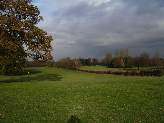
Image: © peter lloyd Taken: 28 Nov 2005
The golf course itself occupies most of the land in SP1684 immediately adjacent to Birmingham International Airport, although the Club House and Golf Centre is located in SP1683 from where this picture was taken.
Images are licensed for reuse under creativecommons.org/licenses/by-sa/2.0
Image Location


Leaflet Map data © OpenStreetMap
Latitude
52.453625
Longitude
-1.762009