Flood defences
Introduction
The photograph on this page of Flood defences by Richard Webb as part of the Geograph project.
The Geograph project started in 2005 with the aim of publishing, organising and preserving representative images for every square kilometre of Great Britain, Ireland and the Isle of Man.

There are currently over 7.5m images from over 14,400 individuals and you can help contribute to the project by visiting https://www.geograph.org.uk
Flood defences
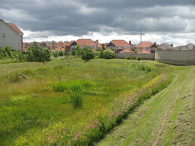
Image: © Richard Webb Taken: 19 Jun 2008
A wildflower meadow now, but this is an area designed to fill and hold surplus run off from the new housing developments to the east of Dunfermline.
Images are licensed for reuse under creativecommons.org/licenses/by-sa/2.0
Image Location
Latitude
56.060003
Longitude
-3.413002