Oronsay Avenue
Introduction
The photograph on this page of Oronsay Avenue by Thomas Nugent as part of the Geograph project.
The Geograph project started in 2005 with the aim of publishing, organising and preserving representative images for every square kilometre of Great Britain, Ireland and the Isle of Man.

There are currently over 7.5m images from over 14,400 individuals and you can help contribute to the project by visiting https://www.geograph.org.uk
Oronsay Avenue
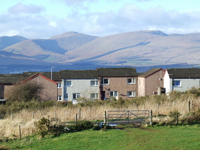
Image: © Thomas Nugent Taken: 1 Mar 2007
Viewed from the A761 Kilmacolm Road, with Castlehill Farm road in the foreground and Glen Fruin and Helensburgh in the distance.
Images are licensed for reuse under creativecommons.org/licenses/by-sa/2.0
Image Location
Latitude
55.919368
Longitude
-4.649949